Whether joyriding through the French countryside or navigating an urban jungle like Paris, maps are indispensable tools while traveling. A good map can save endless time and frustration. But what once was a solely paper medium is quickly going digital. Though my paper map remains my constant back-pocket companion, technology is making it easier than ever to navigate Europe.
Like many travelers these days, I carry a smartphone to Europe, using it sparingly to make phone calls, send texts, check email, and browse the Internet. And like many smartphone owners, I have become accustomed to the convenience of having maps at my fingertips when I need to find an address or look up directions. But there’s a catch to using these maps overseas: Since they must be downloaded and continually updated on the Internet, you either have to wait until you reach a hotspot or pay international data roaming fees in order to call up a new map.
If you prefer the freedom to look up maps without being leashed to a hotspot, check your cell-phone company’s various international data plans; these are actually becoming quite affordable. If you go this route, consider turning off data roaming when you’re not using it so that maps don’t continually update and burn through your megabyte limit. It’s also important to check your data usage periodically on the phone itself so you don’t exceed the max.
To avoid paying fees at all, I prefer to disable data roaming on my phone altogether, only accessing the Internet when I’m connected to a Wi-Fi network. But with a little preparation, you can still take advantage of your smartphone’s navigational features. For instance, if you’re planning a day of driving, you can look up the route on your phone in the morning, then use it to navigate all day long. Before hitting the road, simply log onto a Wi-Fi network, such as the one at your hotel or a café, punch in your start and end points, and select the route you want to take. The map remains available on your phone, and you can zoom in and out, even when you’re nowhere near a Wi-Fi connection.
Since the GPS signal does not utilize the Internet—instead, it uses a combination of satellites and cell-phone towers to triangulate your precise location—it will continue to track your location on the map. But there are limitations: Since maps are downloaded at a fairly low resolution, you can’t zoom in too far or they become unreadable. Also, you can’t adjust your route unless you’re connected to the Internet.
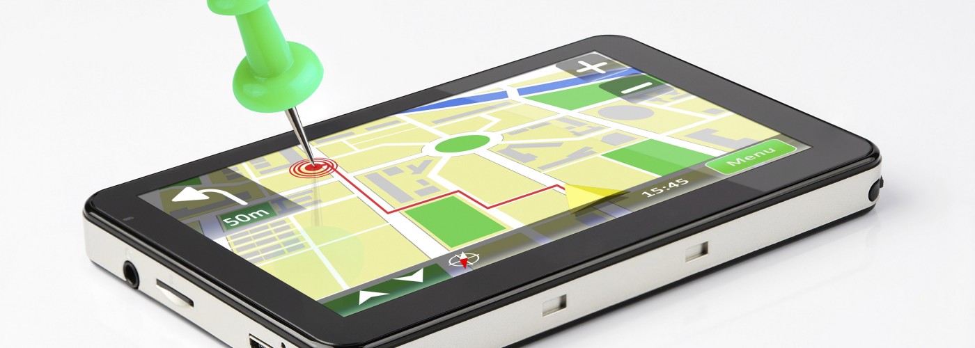
For those who can’t tell north from south, the best digital tool for navigating unfamiliar roads is a dedicated GPS device, which uses preloaded maps and satellite technology to calculate the best route and redirect you when you get lost. You can either rent one with your vehicle, or if you already own a portable GPS device, you can pack it along. If you’re renting a GPS with your car, be sure it’s set to English and has all the maps you need before driving off. If bringing your own unit from home, you may need to buy and upload European maps before your trip. Don’t rely blindly on a GPS unit for directions; have a paper map handy to consider alternatives if you feel the GPS route is Getting Pretty Screwy.
Digital maps are also helpful for negotiating a city on foot. Smartphone users can call up a map of the city or town before leaving the hotel, then have the map available on the phone throughout the day. And because Wi-Fi hotspots are everywhere in big cities, it’s easy to find a network if you need to look up where to go next.
For more flexibility, the $1 iPhone app OffMaps2 lets you purchase maps that can be stored on your phone for most major European destinations, from London to Barcelona. An Internet connection is necessary to download the maps, but once that’s done, they are accessible anywhere. Google Maps, which come on Android phones, can also save several maps for use offline.
For those who need help navigating Europe’s phenomenal subway systems, apps for the London Tube, Paris Métro, Berlin U-Bahn, Barcelona subway, and others are available for about $1 and feature detailed public transit network maps (search iTunes or Android stores for these); they also help travelers plan routes and locate the nearest station. The free MetrO app is a handy route-planner for public transit in dozens of European cities, but does not have maps.
Although navigational technology is quickly becoming cheaper and smarter, for me, nothing beats the ease and readability of a paper map just yet. But with all of these tools at your disposal, you’ll have less reason than ever to get lost—unless you want to.
Rick Steves (www.ricksteves.com) writes European travel guidebooks and hosts travel shows on public television and public radio. Email him at [email protected] and follow his blog on Facebook.
We hand-pick everything we recommend and select items through testing and reviews. Some products are sent to us free of charge with no incentive to offer a favorable review. We offer our unbiased opinions and do not accept compensation to review products. All items are in stock and prices are accurate at the time of publication. If you buy something through our links, we may earn a commission.
Top Fares From
Today's Top Travel Deals
Brought to you by ShermansTravel
Shop and Save with Country Inns...
Patricia Magaña
 Hotel & Lodging Deals
$229 -- Chicago: Discounted Rates and...
Francesca Miele
 Hotel & Lodging Deals
$229+
$188 -- Honolulu: Save on Oceanview...
Abigail Lamay
 Hotel & Lodging Deals
$188+
